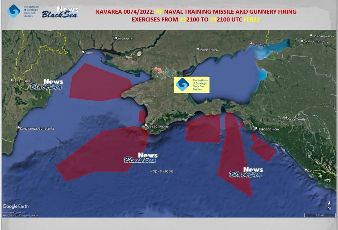
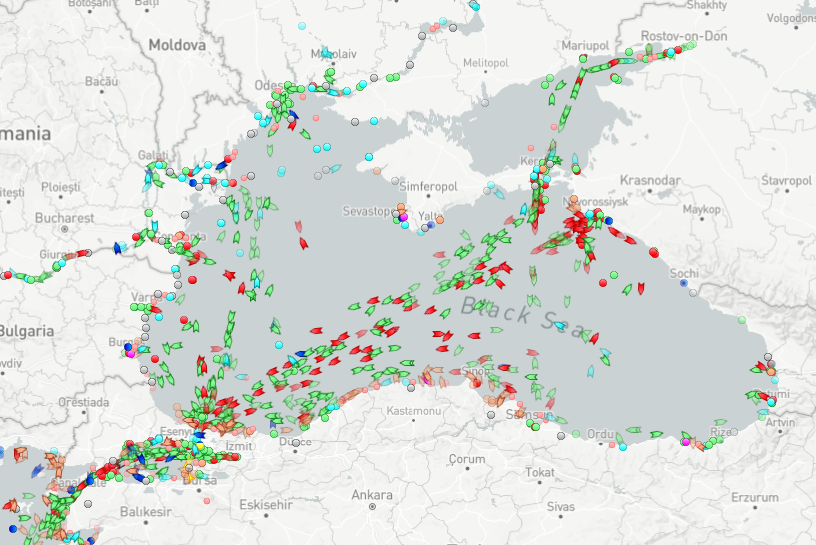
It seems Russia is starting a naval exercise in various areas of international waters in the Black Sea. Ignoring questions of legality and legitimacy - I have heard it said that these actions may mean an effective naval blockade of Ukrainian ports (I can't access the whole story either in that link... paywall). Now, the thing is, I've also gotten a hold of this map of the planned areas for the exercise:
Assuming this map is valid (and correct me if it isn't) - What's the problem for ships to sail to Western Ukraine by going further west, then North to Odessa, then further East; and to Eastern Ukraine through the corridor between the regions of the exercise? It looks like a 15 Km-wide corridor or so. Is it too dangerous for civilian traffic to get through? I'm no seafaring expert so I can't tell.
Also - how common or uncommon are these kinds of exercises, which hinder travel to coastal areas of states other than the exercising one?

