One alternative is to let a totally impartial computer decide, based purely on census data and geography, with no details about the political (or other) makeup of the population. Brian Olsen's open source census-based B-districting algorithm aims for:
Across all districts and all people, The best district map is the one where people have the lowest average distance to the center of their district.
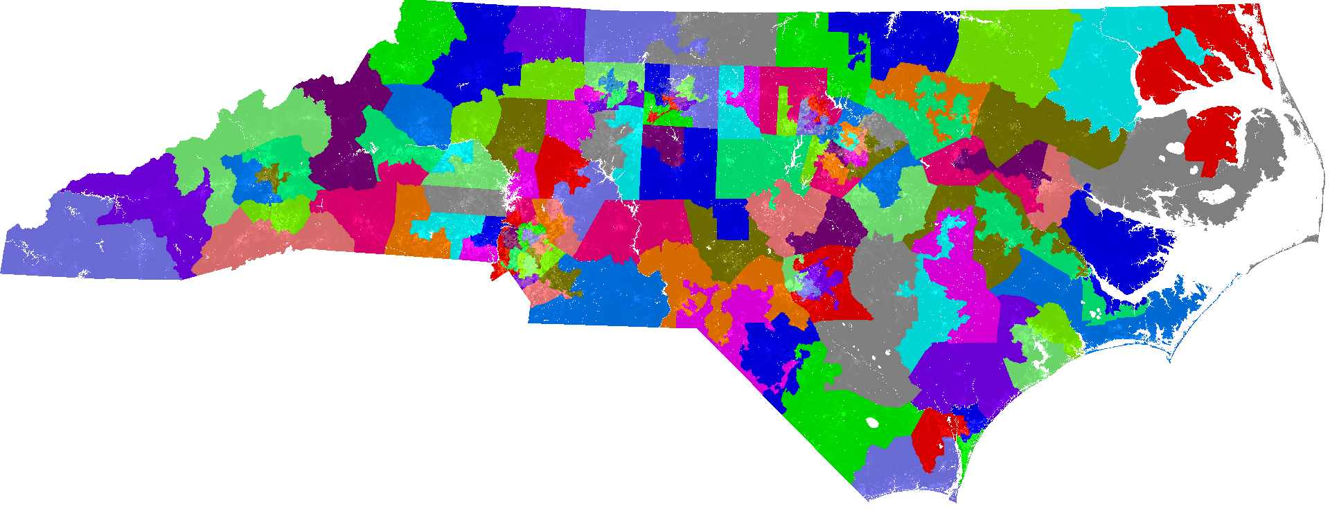
Comparative pictures, using North Carolina's House of Representatives districting. North Carolina using current method:
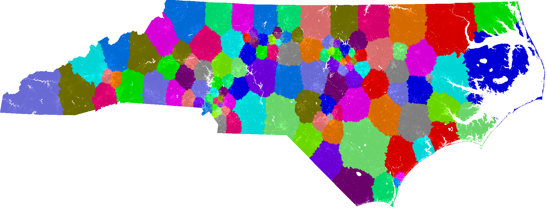
B-districting, based on 2010 census:

